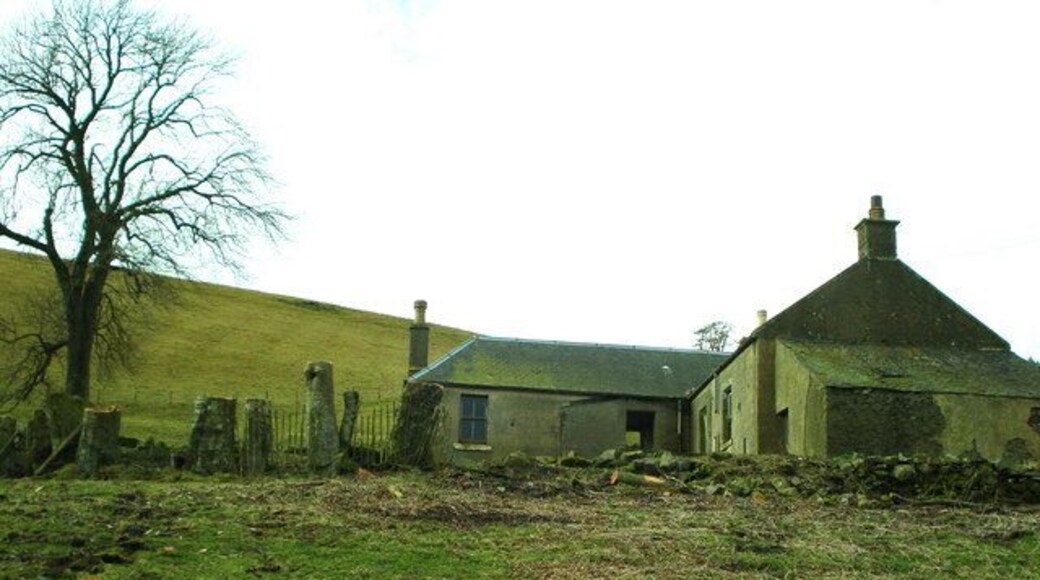
依度勒斯頓
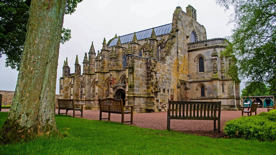
皮布爾斯


住在依度勒斯頓人氣景點附近
當地玩樂


熱門依度勒斯頓酒店及住宿

愛丁堡動物園假日酒店 IHG 旗下酒店
132 Corstorphine Road Edinburgh Scotland
8月3日 至 8月4日 價格為每晚 HK$1,431
HK$1,431
合共 HK$1,804
8 月 3 日 - 8 月 4 日
連稅及其他費用
歡迎在愛丁堡入住此SPA酒店。這裡備有免費 Wi-Fi、免費泊車及全方位 SPA任你盡享。在我們收到的評價中,旅客都讚賞這裡的早餐及熱心員工。愛丁堡古堡及王子街等熱門景點就在附近。
8.6/10 優異! (1,498 則評價)
"Very good value of money. Bus stop in front of hotel. A few bus routes to city. This is my second visit with my family. In the future will stay in this hotel."
評價日期:2026 年 6 月 28 日

格瑞斯市場埃佩克斯酒店
31-35 Grassmarket Edinburgh Scotland
8月2日 至 8月3日 價格為每晚 HK$1,761
HK$1,761
合共 HK$2,219
8 月 2 日 - 8 月 3 日
連稅及其他費用
歡迎在愛丁堡入住此商務酒店。這裡備有免費 Wi-Fi、早餐 (收費)及24 小時客房送餐服務任你盡享。在我們收到的評價中,旅客都讚賞這裡的早餐及泳池。愛丁堡古堡及王子街等熱門景點就在附近。

達爾馬霍伊酒店有限公司
Dalmahoy Hotel & Country Club Kirknewton Scotland
全額退款現在預訂,入住時才付款
8月30日 至 8月31日 價格為每晚 HK$1,397
HK$1,397
合共 HK$1,677
8 月 30 日 - 8 月 31 日
連稅及其他費用
歡迎在柯克紐頓入住此高爾夫球酒店。這裡備有免費 Wi-Fi、免費泊車及2 間餐廳任你盡享。在我們收到的評價中,旅客都讚賞這裡的早餐及泳池。愛丁堡動物園及墨瑞菲爾德運動場等熱門景點就在附近。
9/10 卓越! (1,726 則評價)
"Lovely hotel, great setting and amenities. Staff were all very friendly and helpful. Breakfast was so so, dinner was good. Would definitely recommend."
評價日期:2026 年 7 月 30 日

滑鐵盧廣場埃佩克斯酒店
23-27 Waterloo Place Edinburgh Scotland
8月2日 至 8月3日 價格為每晚 HK$1,660
HK$1,660
合共 HK$2,092
8 月 2 日 - 8 月 3 日
連稅及其他費用
歡迎在愛丁堡入住此SPA酒店。這裡備有免費 Wi-Fi、全方位 SPA及早餐 (收費)任你盡享。在我們收到的評價中,旅客都讚賞這裡的早餐及泳池。皇家一英里大道及王子街等熱門景點就在附近。


愛丁堡機場 Moxy 酒店
1 Fairview Road Newbridge Scotland
8月2日 至 8月3日 價格為每晚 HK$1,564
HK$1,564
合共 HK$1,971
8 月 2 日 - 8 月 3 日
連稅及其他費用
歡迎在新橋入住此商務酒店。這裡備有免費 Wi-Fi、早餐 (收費)及健身設施任你盡享。在我們收到的評價中,旅客都讚賞這裡的熱心員工及整潔客房。愛丁堡動物園及墨瑞菲爾德運動場等熱門景點就在附近。
8.6/10 優異! (2,541 則評價)
"Just step away from the airport. Room is clean and the facilities are fit. Noise from plane is not at all. Room temperature is comfortable in the early winter. Great place to stay for early flight or late arrival."
評價日期:2025 年 11 月 1 日
過去 24 小時內找到的最低每晚價格 (2 位成人 1 晚)。價格及供應情況可能會出現變動。可能設有其他條款。

