奇尔马克
旅行指南
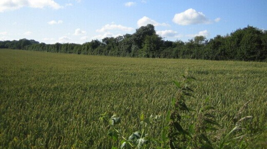

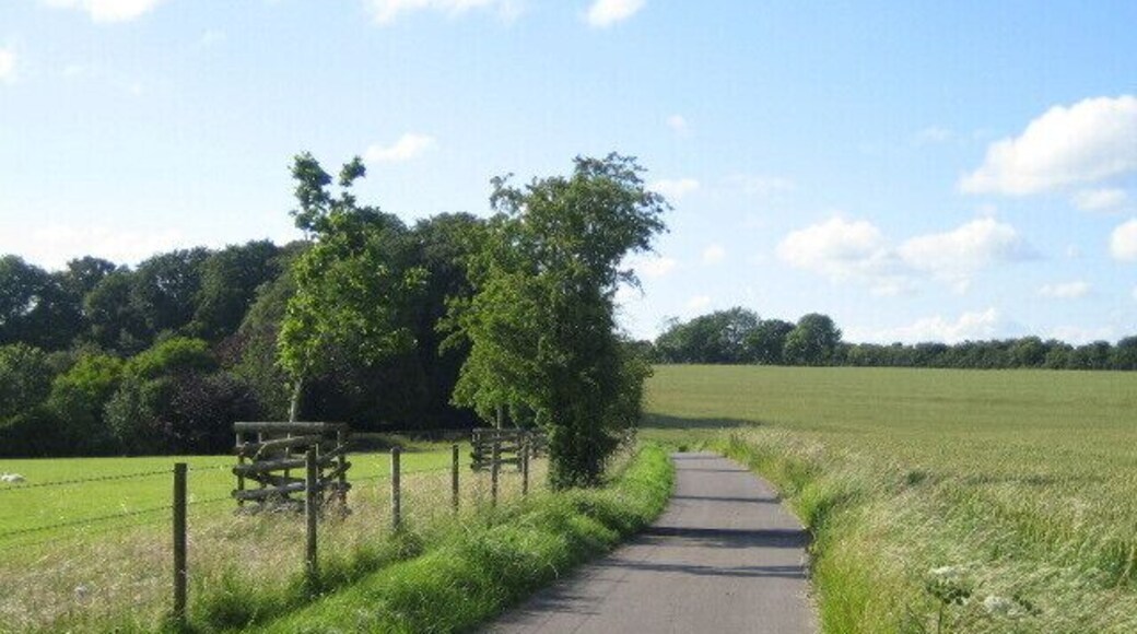

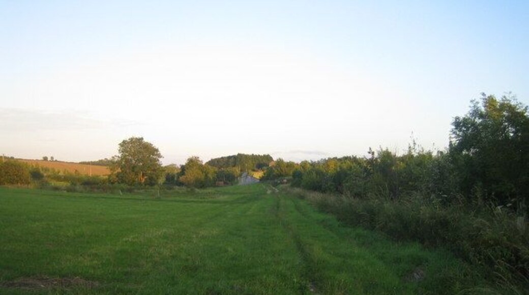
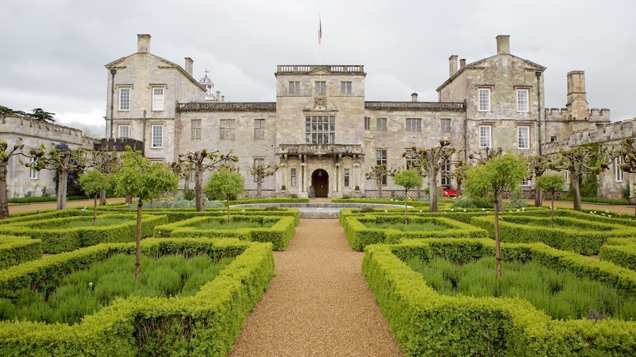
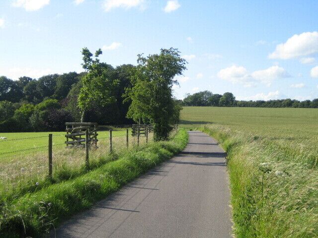
游览奇尔马克

灰色庄园酒店
Salisbury Road Salisbury England
6月7日到 6月8日的每晚价格 HK$698
HK$698
总价 HK$837
6 月 7 日 - 6 月 8 日
含税款和其他费用
入住솔즈베리的这家酒店。客人可使用免费 WiFi、免费停车设施和早餐。我们的住客在点评中表扬了早餐和乐于助人的员工。附近有热门景点瑟鲁克斯顿卡丁车中心和瑟鲁克斯顿赛道。
8.2/10 Very Good! (426 条点评)
"Overalls are good."
点评日期:2024 年 6 月 13 日

乔治酒店
Market Place Frome England
6月9日到 6月10日的每晚价格 HK$690
HK$690
总价 HK$828
6 月 9 日 - 6 月 10 日
含税款和其他费用
入住弗罗姆的这家小旅馆。客人可使用免费 WiFi、免费停车设施和每日客房清洁服务。我们的住客在点评中表扬了早餐和乐于助人的员工。附近有热门景点朗利特野生动物和探险公园和朗利特森林中央公园。
8.6/10 Excellent! (1,010 条点评)
"Spent one night at The George. The staff were very friendly, check in was very smooth. Very knowledgeable about car parking in the town. Our room was very comfortable, clean and tidy. We slept well. The bathroom was well appointed, the shower was good and there was plenty of hot water. Breakfast ..."
点评日期:2026 年 6 月 5 日

商人之家,BW签名收藏
29 Milford St Salisbury England
6月28日到 6月29日的每晚价格 HK$950
HK$950
总价 HK$1,139
6 月 28 日 - 6 月 29 日
含税款和其他费用
入住솔즈베리的这家酒店。客人可使用免费 WiFi、早餐和24 小时前台服务。我们的住客在点评中表扬了早餐和乐于助人的员工。附近有热门景点南安普敦滑冰和集市广场。
基于过去 24 小时内找到的、2 位成人 1 晚住宿的每晚最低价格。价格和供应情况可能会有所变动。可能需遵守其他条款。

石圈豪华露营
Larkhill Rd Durrington England
入住솔즈베리的这家木舍。客人可使用免费停车设施。附近有热门景点巨石阵和都灵顿之墙。
8/10 Very Good! (3 条点评)
"A great location to explore the area, including walking distance to WoodHenge, a short drive to Stonehenge and an hour from Glastonbury. Very quiet, peaceful and quaint. The perfect short break away."
点评日期:2026 年 5 月 4 日

梨树公寓酒店
17-19 Mill Road Salisbury England
入住솔즈베리的这家公寓酒店。客人可使用免费 WiFi、早餐和店内停车场。附近有热门景点蒙佩森宅邸和阿伦戴尔斯。
9.6/10 Exceptional! (316 条点评)
適合自駕去巨石陣的方便又全面的公寓酒店
"地理位置偏遠, 但非常近巨石陣, 過了辦公時間入住有電郵指示, 可以自己在鎖匙箱取匙. 酒店早餐會預先放在房內廚房, 有穀物,牛奶,果醬,牛角酥(在冰箱,有指示如何用焗爐處理,很好吃)以及乳酪. 房間有暖氣. 免費自助泊車. 房間乾淨, 但門外有蜘蛛."
点评日期:2019 年 3 月 23 日

Luxury villa for 22 people with pool, jacuzzi, large garden and private pub!
Three Legged Cross England
入住温伯恩的这家家庭乡舍。客人可使用私人游泳池、花园和洗衣设施。附近有热门景点莫尔斯谷林木中的Go Ape和摩尔斯谷国家公园。
9.8/10 Exceptional! (194 条点评)
"This property was perfect for our needs, it felt like a home from home. This was a family get together (10 adults, 9 children) and there was plenty of space for everyone with enough break out areas. The pool was fantastic given our trip coincided with the heatwave! The garden is beautiful with plenty ..."
点评日期:2026 年 6 月 3 日
基于过去 24 小时内找到的、2 位成人 1 晚住宿的每晚最低价格。价格和供应情况可能会有所变动。可能需遵守其他条款。


