跳至主目錄
旅遊產品
旅遊產品
旅遊產品
酒店/住宿
酒店/住宿
機票
機票
租車
租車
套票行程
套票行程
當地玩樂
當地玩樂
優惠
團體和會議
最後召集優惠
打開 App
HKD
•
刊登你的住宿
協助中心
行程
Communication Center
登入
會員價即訂即慳
登入
意見
歐洲
派翠克教區
曼島
歐洲
計劃行程
派翠克教區酒店
派翠克教區出租度假屋
派翠克教區機票
派翠克教區當地玩樂
派翠克教區租車
派翠克教區度假行程
派翠克教區
曼島
派翠克教區
派翠克教區
派翠克教區
派翠克教區
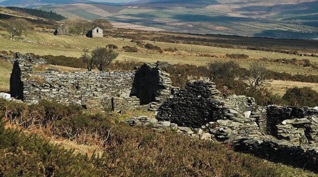
Andy Radcliffe
的相片 (
Creative Commons Attribution-Share Alike 2.0
)
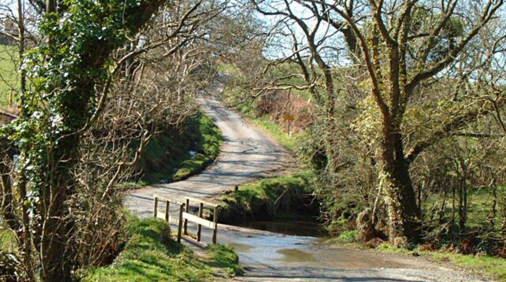
派翠克教區
Jon Wornham
的相片 (
Creative Commons Attribution-Share Alike 2.0
)
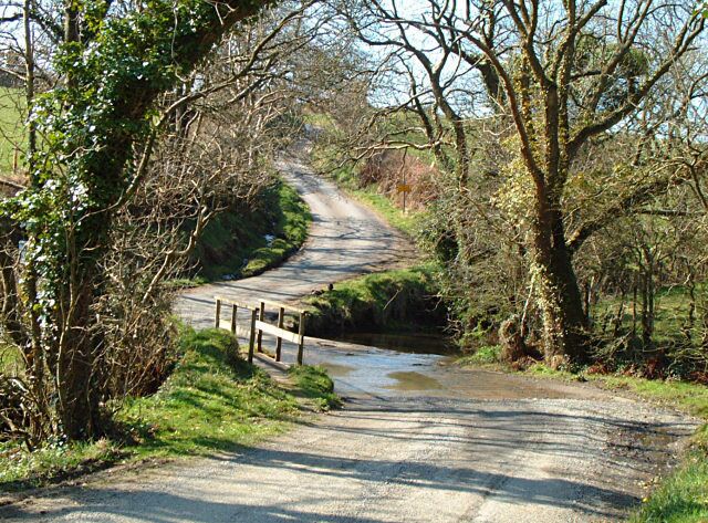
20
查看全部 20 張相片
入住
結束日期
旅客
搜尋
派翠克教區熱門城市
格倫梅
遊覽曼島大教堂和皮爾城堡—兩個格倫梅一帶最受歡迎的景點。
探索城市
搜尋酒店
福克斯代爾
前往曼島大教堂和皮爾城堡,探索福克斯代爾兩個最熱門景點。
探索城市
搜尋酒店
達爾比
前往曼島大教堂和皮爾城堡,探索達爾比兩個最熱門景點。
探索城市
搜尋酒店
Expedia App 帶你走得更遠
用 App 預訂可享精選酒店折扣,並賺取雙倍積分。App 除了提供優惠幫你慳住玩,更可以讓你一站式管理行程,去旅行玩得更盡!
使用裝置鏡頭掃描二維碼,即可下載 App
28100e78-25f3-4bb4-88f7-e656ebe8cb6e
86de41d0-01d0-43dc-8505-cb9538a371e5


