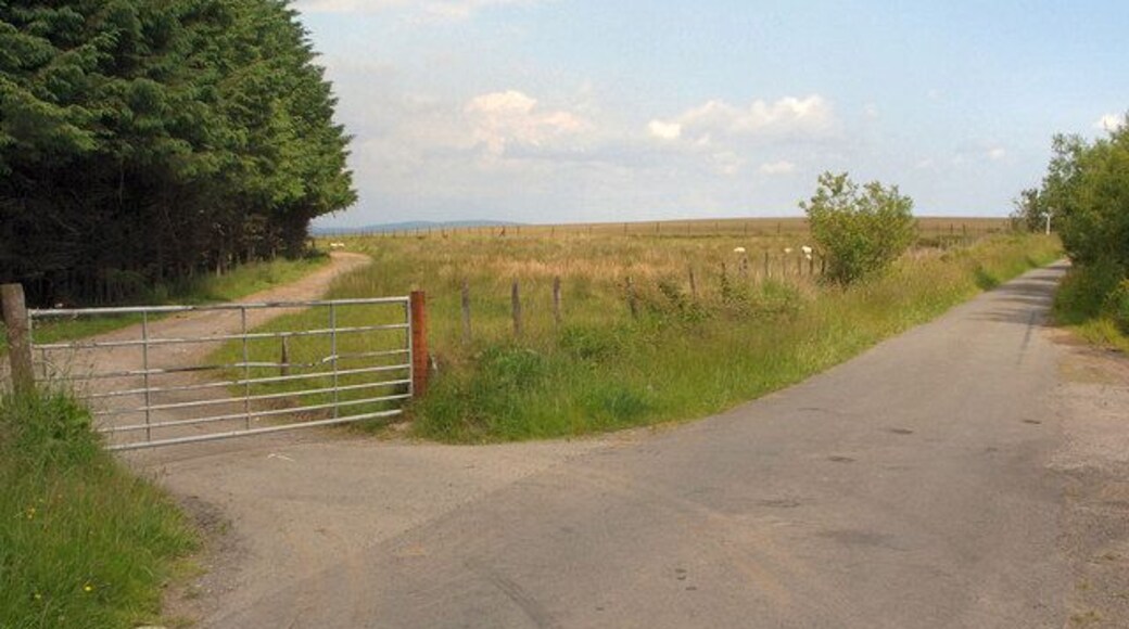
Llangynwyd Middle
Maesteg


Visit Llangynwyd Middle
Top hotels in Llangynwyd Middle

Delta Hotels by Marriott Swansea
Maritime Quarter Swansea Wales
The price is HK$781 per night from 31 May to 1 Jun
HK$781
HK$937 total
31 May - 1 Jun
includes taxes & fees
Stay at this beach hotel in Swansea. Enjoy free Wi-Fi, a beach locale and breakfast (surcharge). Our guests praise the breakfast and the helpful staff in their ...
8.8/10 Excellent! (621 reviews)
"Great location right on the beach. Nice room and friendly staff."
Reviewed on 20 May 2026

The Mount Rooms
Porthkerry Road Barry Wales
The price is HK$412 per night from 4 Jun to 5 Jun
HK$412
HK$495 total
4 Jun - 5 Jun
includes taxes & fees
Stay at this business-friendly hotel in Barry. Enjoy free Wi-Fi, a fitness centre and a 24-hour front desk. Our guests praise the helpful staff and the clean ...
7.6/10 Good! (1,000 reviews)
"Totally disappointed with how dated the room was. Definitely charging more than they should. The top bunk bed in the family room isn’t safe as the mattress is too tall and there’s risk of kids falling out. There were slugs in the bathroom which my husband had to pick out and the walls and floor were ..."
Reviewed on 18 May 2026

Village Hotel Cardiff
29 Pendwyallt Road, Coryton Cardiff Wales
The price is HK$633 per night from 21 Jun to 22 Jun
HK$633
HK$760 total
21 Jun - 22 Jun
includes taxes & fees
Stay at this business-friendly hotel in Cardiff. Enjoy free Wi-Fi, breakfast (surcharge) and room service. Our guests praise the helpful staff and the clean ...
8/10 Very Good! (1,001 reviews)
"Room was ok just the stench coming from the shower plug Breakfast staff rude unhelpful and clear away items from the table before I could eat Ordered pizza and chips pizza came then chips one hour later"
Reviewed on 20 May 2026

Village Hotel Swansea
Langdon Road Swansea Wales
The price is HK$633 per night from 21 Jun to 22 Jun
HK$633
HK$760 total
21 Jun - 22 Jun
includes taxes & fees
Stay at this business-friendly hotel in Swansea. Enjoy free Wi-Fi, breakfast (surcharge) and room service. Our guests praise the helpful staff and the clean ...
7.8/10 Good! (1,001 reviews)
"Clean room. Well trained staff. And excellent pool and gym facilities."
Reviewed on 21 May 2026

Lanelay Hall Hotel & Spa
Lanelay Lane Pontyclun Wales
The price is HK$1,105 per night from 1 Jun to 2 Jun
HK$1,105
HK$1,326 total
1 Jun - 2 Jun
includes taxes & fees
Stay at this luxury B&B in Pontyclun. Enjoy free Wi-Fi, free parking and breakfast (surcharge). Our guests praise the helpful staff and the clean rooms in their ...
9/10 Wonderful! (823 reviews)
"Very , very nice place to stay- quieter hotel perfect for a relaxing getaway. Staff are very friendly and helpful there also and make you feel very welcome. Superb breakfast provided also, with great choice and the best products also. While here you must eat at Blok restaurant, it is an experience ..."
Reviewed on 19 May 2026

Copthorne Hotel Cardiff-Caerdydd
Copthorne Way Culverhouse Cross Cardiff Wales
The price is HK$526 per night from 21 Jun to 22 Jun
HK$526
HK$632 total
21 Jun - 22 Jun
includes taxes & fees
Stay at this hotel in Cardiff. Enjoy free Wi-Fi, free parking and a rooftop terrace. Popular attractions Principality Stadium and Cardiff Castle are located ...
8.4/10 Very Good! (1,000 reviews)
"A nice well situated hotel on the edge of Cardiff, i have used it several times and i have never been disappointed."
Reviewed on 21 May 2026
Lowest nightly price found within the past 24 hours based on a 1 night stay for 2 adults. Prices and availability subject to change. Additional terms may apply.
Check Llangynwyd Middle hotel availability
Other neighbourhoods around Llangynwyd Middle

Garth
Garth is well liked for its beaches, and you can visit sights like Afan Argoed Country Park and Margam Country Park if you have time to explore the area.

