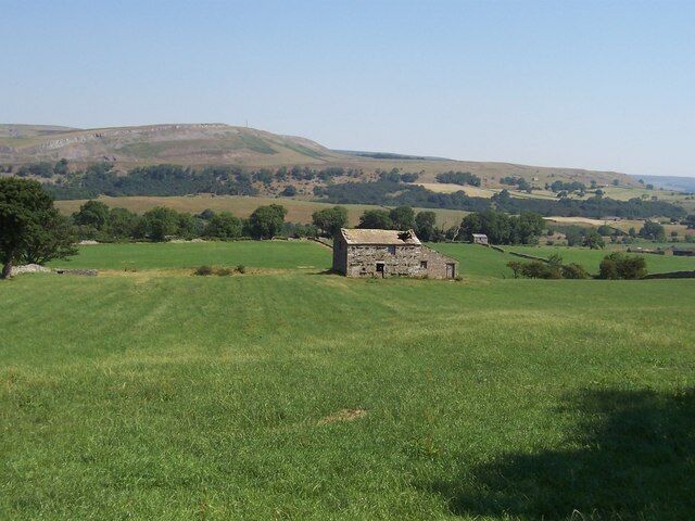
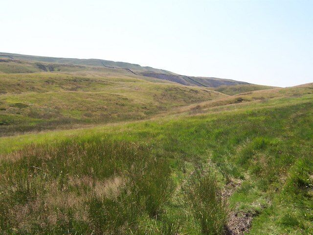
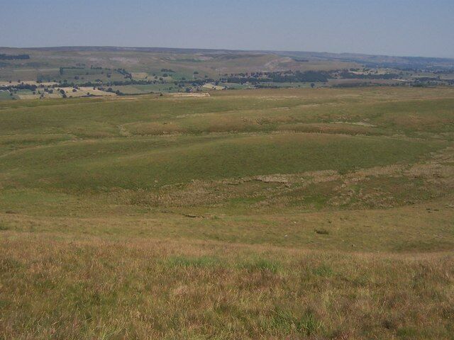
Thornton Rust
Travel Guide
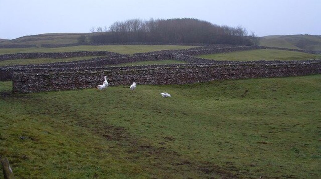
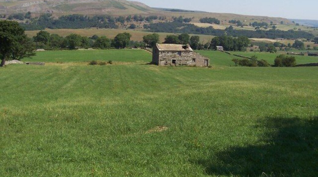
Visit Thornton Rust

Holiday Inn Darlington - A1 Scotch Corner by IHG
Junction A1 / A66 Richmond England
The price is HK$563 per night from 5 Jul to 6 Jul
HK$563
HK$675 total
5 Jul - 6 Jul
includes taxes & fees
Stay at this business-friendly hotel in Richmond. Enjoy free Wi-Fi, free parking and breakfast (surcharge). Our guests praise the helpful staff in their reviews. ...
8.6/10 Excellent! (1,001 reviews)
"Very comfortable stay"
Reviewed on 20 Jun 2026

The Kings Head Hotel, Richmond, North Yorkshire
Market Place Richmond England
The price is HK$698 per night from 5 Jul to 6 Jul
HK$698
HK$838 total
5 Jul - 6 Jul
includes taxes & fees
Stay at this hotel in Richmond. Enjoy free Wi-Fi, breakfast (surcharge) and room service. Our guests praise the helpful staff in their reviews. Popular attractions ...
9.2/10 Wonderful! (548 reviews)
"We have stopped at this hotel three times now, and it’s always been a great stay. Rooms were spotlessly clean, food was great and the staff have been excellent and very friendly. They’ve even posted my keys back to me FOC, that I’d left behind. There was only one gripe and that is trying to get someone ..."
Reviewed on 25 Jun 2026

The Fox Hall Inn
The Fox Hall Inn Richmond England
The price is HK$690 per night from 19 Jul to 20 Jul
HK$690
HK$829 total
19 Jul - 20 Jul
includes taxes & fees
Stay at this hotel in Richmond. Enjoy free breakfast, free Wi-Fi and free parking. Popular attractions Richmond (Yorks) Golf Club and The Garage Spa are located ...
9.4/10 Exceptional! (103 reviews)
"Stayed for three nights. Very comfy bed. Helpful staff. TV not working when arrived. New one ordered and fitted the next day!! Excellent food. Continental breakfast served in a hamper each morning. Dinner menu refreshingly different!!!"
Reviewed on 22 Jun 2026
Lowest nightly price found within the past 24 hours based on a 1 night stay for 2 adults. Prices and availability subject to change. Additional terms may apply.

5-bedroom holiday cottage in the Yorkshire Dales sleeping 8, with 2 bathrooms
Leyburn England
Stay at this family-friendly cottage in Leyburn. Enjoy a garden, laundry facilities and a pool table. Popular attractions The Forbidden Corner and Middleham ...
10/10 Exceptional! (82 reviews)
"This property has to have the bext views of any I have stayed in. We were blessed with lovely weather and so made full use of all the outdoor seatiung. The house was immaculately clean- we all all enjoyed the games room and the kitchen was very well equiped. The only quibble would be to have some ..."
Reviewed on 26 May 2026

Beautifully Converted Barn With Stunning Views near Aysgarth
Newbiggin Bishopdale North Yorkshire
Stay at this holiday home in Leyburn. Enjoy free Wi-Fi, a garden and laundry facilities. Popular attractions Yorkshire Dales National Park and West Burton Falls ...
9.8/10 Exceptional! (91 reviews)
"Volltreffer! Gemütliche, geschmackvolle Wohnung in bester Lage. Super Ausblicke aus allen Fenstern, schöner Garten, freundliche Kommunikation direkt mit dem Vermieter. Es hat an nicht gefehlt, wir können diese Unterkunft sehr empfehlen."
Reviewed on 9 Jun 2026

Tucked Away Cottage, Beautiful cottage in central Grassington with parking
Grassington ENG
Stay at this cottage in Skipton. Enjoy a garden, laundry facilities and in-room fireplaces. Popular attractions Kilnsey Park Estate and Grimwith Reservoir are ...
9.8/10 Exceptional! (178 reviews)
"A great walking location in a busy little village."
Reviewed on 6 Jun 2026
Lowest nightly price found within the past 24 hours based on a 1 night stay for 2 adults. Prices and availability subject to change. Additional terms may apply.

