
奧爾頓出租度��假屋
 改變主意預訂可免費取消的酒店
 精挑細選搜尋全球近百萬間住宿
查看這些日期的價格
奧爾頓度假屋熱選


現售 HK$980
合共 HK$2,286
連稅及其他費用
6 月 25 日 - 6 月 26 日


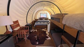
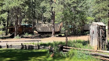
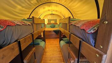
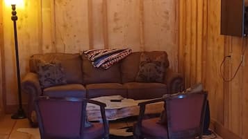
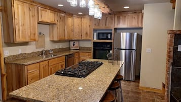
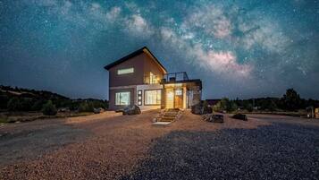
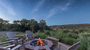
Bryce & Zion Cozy Retreat / Starlit Hot Tub
Bryce & Zion Cozy Retreat / Starlit Hot TubAlton
10.0 分 (滿分為 10 分),完美,(6 則評價) 篇評價
「Everything was a great experience. Had a blast would watch a book again in the future. Thank you for the experience.」

James
現售 HK$649
合共 HK$2,171
連稅及其他費用
6 月 27 日 - 6 月 28 日


現售 HK$1,058
合共 HK$2,382
連稅及其他費用
6 月 25 日 - 6 月 26 日


現售 HK$1,058
合共 HK$2,382
連稅及其他費用
6 月 25 日 - 6 月 26 日

現售 HK$1,137
合共 HK$2,485
連稅及其他費用
6 月 30 日 - 7 月 1 日


現售 HK$1,058
合共 HK$2,382
連稅及其他費用
6 月 29 日 - 6 月 30 日

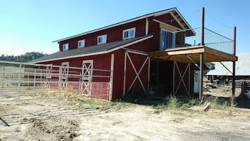
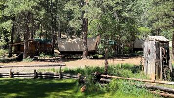
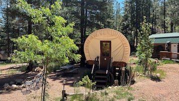
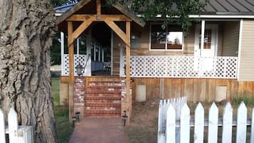
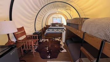
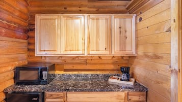
The Hitching Post in Alton
The Hitching Post in AltonAlton
10.0 分 (滿分為 10 分),完美,(2 則評價) 篇評價
「Unique experience. Friendly host. Plenty of room for the family.」
Jake W.
現售 HK$831
合共 HK$1,855
連稅及其他費用
7 月 7 日 - 7 月 8 日


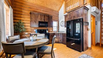
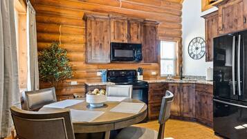
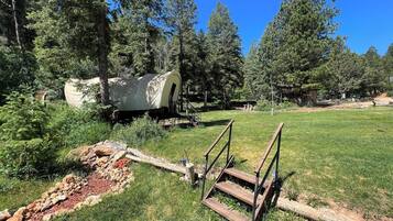
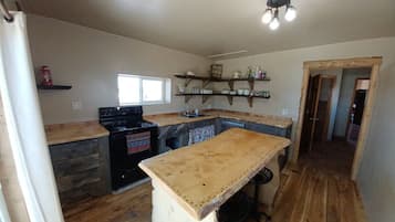
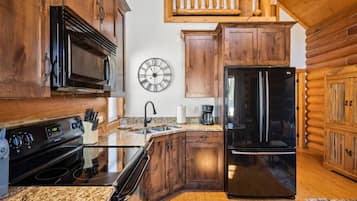
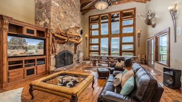
Bryce & Zion Midpoint w/ Memorable Cowboy Hot Tub
Bryce & Zion Midpoint w/ Memorable Cowboy Hot TubAlton
10.0 分 (滿分為 10 分),完美,(16 則評價) 篇評價
「Great place and the location is perfect for access to Bryce Canyon, Zion and Kanab! Jeremy was very helpful and a great host. I hope to come back soon. 」
Holly M.
現售 HK$1,668
合共 HK$2,127
連稅及其他費用
6 月 29 日 - 6 月 30 日


過去 24 小時內找到的最低每晚價格 (2 位成人 1 晚)。價格及供應情況可能會出現變動,可能設有其他條款。

奧爾頓熱門酒店評價

萊斯峽谷羅德威酒店
8/10 不錯
其他關於奧爾頓的資料
奧爾頓出租度假屋住宿預算
奧爾頓的出租度假屋豐儉由人,每晚住宿費一般介乎 HK$1,319 至 HK$3,478。
出租度假屋與酒店的分別
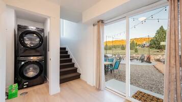
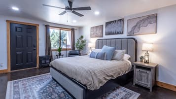
度假屋與酒店的最大分別,在於空間大小:一般來說,酒店以「客房」為單位;而度假屋則動輒一兩層「起跳」,起居範圍大得多,且視乎主題風格而定,設計各有特色。酒店主打周到服務,除了有專人辦理登記入住手續,更設有客房送餐、清潔、洗衣、開床等全天候禮遇,旅客連手指頭都不用動一根,專心享受就得!度假屋則更像是「Home away from Home」,可讓你在外獲享「家的感覺」,於更奢華寬敞的空間中,「煮飯仔」為親朋好友下廚亦可,買外賣大吃一餐亦得!再者,度假屋的登記入住處大多另設於專門櫃台或站點,屋內並無職員駐場,私隱度自然較高。
出租度假屋設施
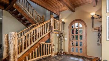
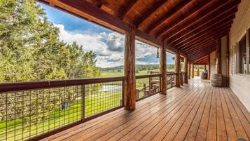
出租度假屋算得上是「豪華型家居」,客廳、獨立睡房、廚房、洗手間等一應俱全,並視乎所在地點與特色,配備以下設施:
- 花園
- 燒烤爐
- 林景或海景露台
- 天台休憩空間
- 健身室
- 泳池
- 按摩浴池
奧爾頓至抵旅遊時機
要入住奧爾頓的度假屋,以 價格最抵,的住宿費則較高。
奧爾頓人氣旅遊月份
奧爾頓的旅遊旺季高峰期為 ,屆時氣候怡人,觀光玩樂活動多不勝數,肯定會讓你留下美好的度假回憶!

